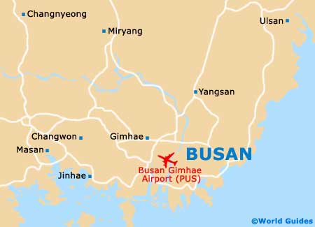
Busan Gimhae International Airport (PUS)
Orientation and Maps
(Busan, Republic of Korea)
Often referred to as Pusan, the Busan Metropolitan City is located in South Korea and features an important harbour area and a total population approaching four million inhabitants. Busan is the country's second-biggest city and features a backdrop of hills and mountains. The city of Busan is divided into 15 different wards and one county, and regularly hosts many important conventions and major football events.
On the western side of Busan, Gimhae International Airport (PUS) dates back to 1976. Gimhae Airport is currently expanding and intends to serve more passengers and meet its growing demand for travel in this part of South Korea.
Much of Busan is fairly youthful, particularly around the numerous university campuses and local colleges. Public transport here includes coastal ferries, railway lines and a convenient subway network.
Busan Gimhae International Airport (PUS) Maps: Important City Districts
The city of Busan is split into the following districts, which are known locally as 'gu' and divided into further administrative areas, or 'dong':
- Buk-gu (population of 330,000)
- Busanjin-gu (population of just over 400,000)
- Dong-gu (population of 110,000)
- Dongnae-gu (population of around 300,000)
- Gangseo-gu (population of 60,000)
- Geumjeong-gu (population of 260,000)
- Gijang-gun (population of 80,000)
- Haeundae-gu (population of over 400,000)
- Jung-gu (population of 50,000)
- Nam-gu (population of 300,000)
- Saha-gu (population of 375,000)
- Sasang-gu (population of 275,000)
- Seo-gu (population of 140,000)
- Suyeong-gu (population of 180,000)
- Yeongdo-gu (population of 160,000)
- Yeonje-gu (population of 220,000)
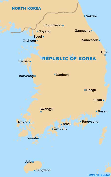
Republic Of Korea Map
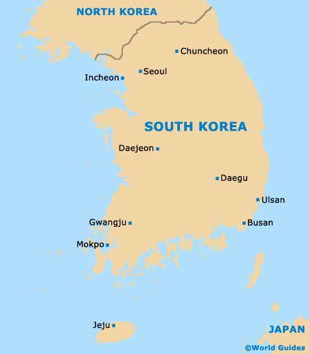
Busan Map